

You can find on this page the blank map of Brazil to print and to download in PDF. The contours map of Brazil presents the international boundary of Brazil in Americas. You can use the vector map of Brazil for personal or educational use.

The blank map of Brazil shows the country Brazil empty. This blank map of Brazil will allow you to use the map for personal activities or educational with children for example (drawing). The empty map of Brazil is downloadable in PDF, printable and free.
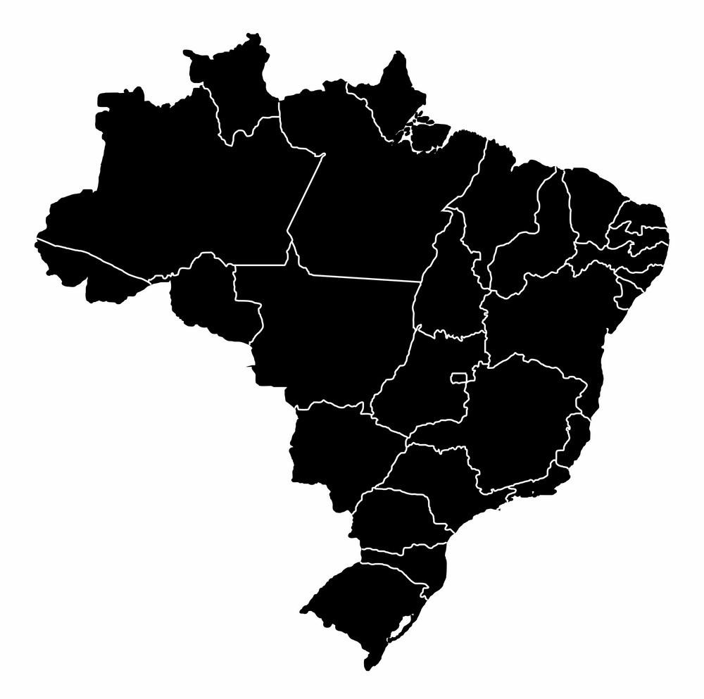
According to the Federal Constitution of 1988, the Federative Republic of Brazil is made up of 27 political units, of which 26 are states and one is the Federal District as its shown in the Blank map of Brazil. These 26 Brazilian states are divided into 5,570 counties spread across five distinct regions, and these divisions of the blank map of Brazil make evident the cultural, linguistic, and historical complexity of the country.
Brazil divides naturally into five large regions as you can see in the Blank map of Brazil. The North, which consists of the states of Pará, Amazonas, Acre, Rondônia, Amapá, Tocantins and Roraima, is the largest and least inhabited. The Northeast consists of the states of Maranhão, Piauí, Ceará, Rio Grande do Norte, Paraíba, Pernambuco, Alagoas, Sergipe and Bahia. Its semi-arid area is covered with scrubby woodland, known as the caatinga.
The Southeast of the blank country of Brazil consists of the states of Minas Gerais, Espírito Santo, São Paulo and Rio de Janeiro as its shown in the Blank map of Brazil. The South consists of the states of Paraná, Santa Catarina and Rio Grande do Sul. The Center-West consists of the states of Goiás, Mato Grosso, Mato Grosso do Sul and the Federal District where Brasilia, the federal capital, is located.
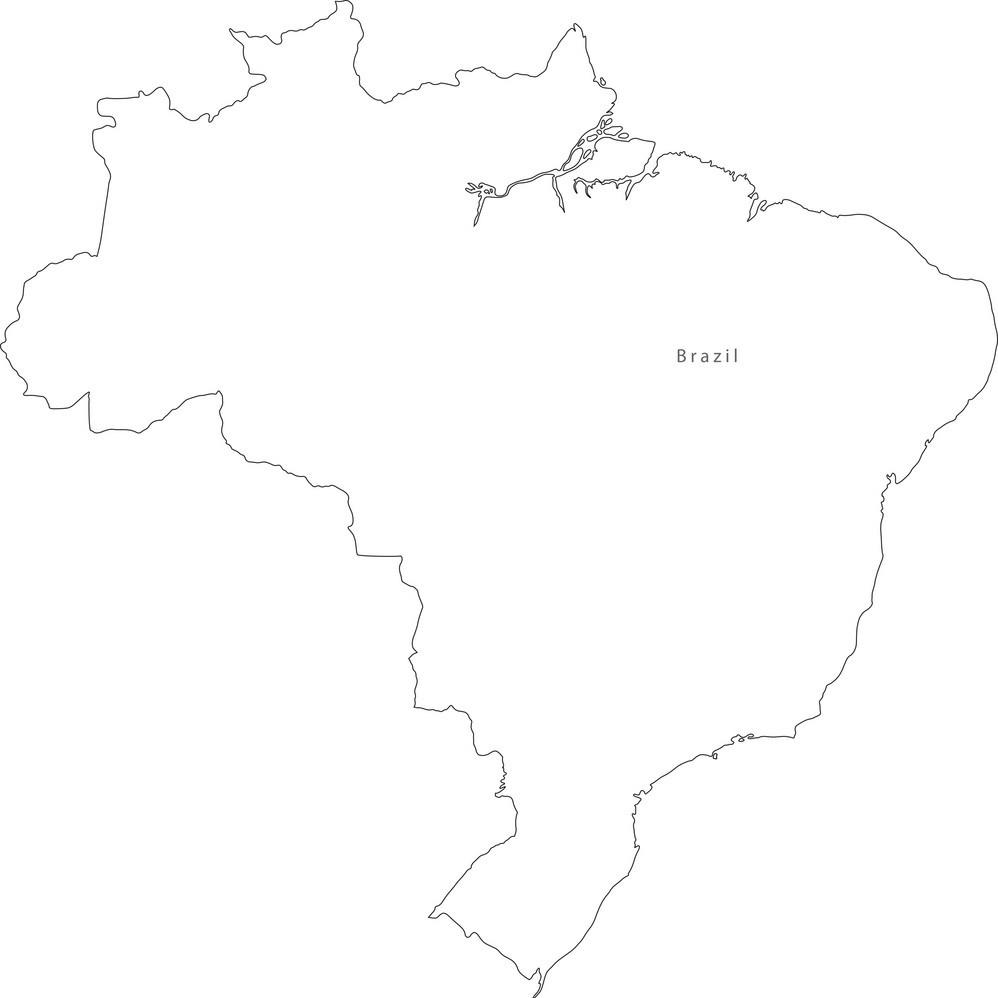
The Brazil map outline shows all the contours and international boundary of Brazil. This outline map of Brazil will allow you to easily learn about neighboring countries of Brazil in Americas. The Brazil contours map is downloadable in PDF, printable and free.
The Federative Republic of Brazil is a sovereign country located in South America. Brazil is the most extensive country in South America and the the world's fifth most extensive country, the fifth most populous country, and the fourth most populous democracy. Its outlines shows that Brazil is bounded by the Atlantic Ocean on the east, Brazil has a coastline of over 7,491 kilometers (4,655 mi) as its mentioned in Brazil map outlines. It is bordered on the north by Venezuela, Suriname, Guyana and the overseas department of French Guiana; on the northwest by Colombia; on the west by Bolivia and Peru; on the southwest by Argentina and Paraguay and on the south by Uruguay.
Brazil, with over 200 million inhabitants, is the largest country in Latin America. Chile and Ecuador aside, it borders and have outlines with every country in the continent as you can see in Brazil map outlines. It ranks fifth worldwide when it comes to population and territorial dimensions. When it comes to foreign policy, however, Brazil has been a fairly passive actor since the Second World War.
Brazil relationship with its neighbours that is mentioned in Brazil map outlines and efforts to build up regional leadership have not been consistent over the last twenty years, with different strategies and priorities gaining precedence during this period. For many years, the overriding paradigm inside Itamaraty has been based on beliefs that would seem to indicate an increasing meeting of minds within Brazilian diplomatic circles and some important signs of continuity in the country foreign policy.
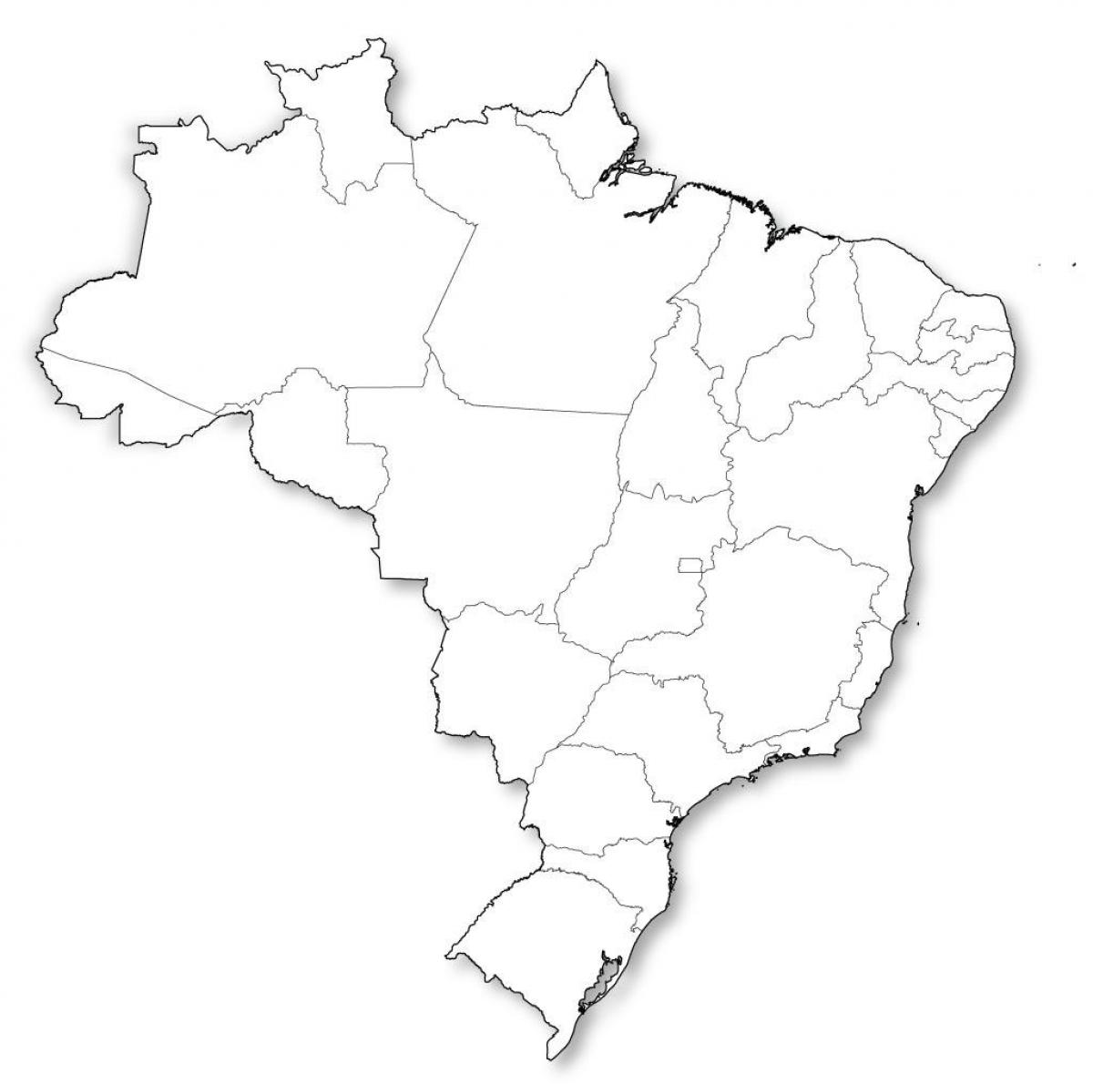
The vector map of Brazil shows entire surface of Brazil empty. This vector map of Brazil will allow you to make changes or add details to the map of Brazil in Americas, for personal or educational purposes. The vectorial map of Brazil is downloadable in PDF, printable and free.
Brazil vector form a kind of triangle which stretches roughly 2,700 miles (4,350 km) from north to south and from east to west to form a vast irregular triangle that encompasses a wide range of tropical and subtropical landscapes, including wetlands, savannas, plateaus, and low mountains as its mentioned in Brazil map vector.
Brazil is the largest country in South America and the fifth largest nation in the world. Its vector forms an enormous triangle on the eastern side of the continent with a 4,500-mile (7,400-kilometer) coastline along the Atlantic Ocean as you can see in Brazil map vector. It has borders with every South American country except Chile and Ecuador.
Brazil has a compact and Prorupted vector. Brazil is Prorupted because it has a few pieces that come out its natural shape and make it have an irregular shape. The pieces near Uruguay, Venezuela, and Peru in Particular as its shown in Brazil map vector. It also has a Compact shape. It is not a small state but it does have its capital in the middle of the state. The Prorupted pieces of the state probably have a little more trouble getting supplies and products from the government. This is handled well because of where the capital is located. Since it is in the middle it makes it easier to get supplies to every area of the state.